PRODUCT DESCRIPTION
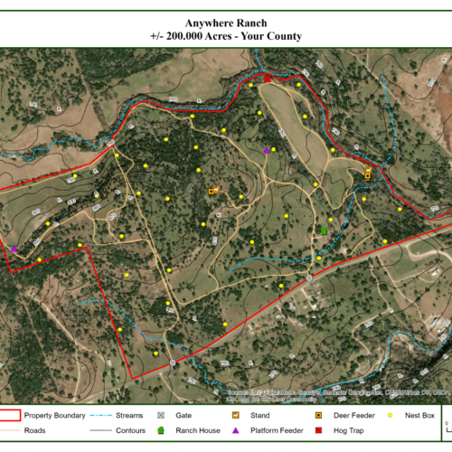
Our detailed Features Map captures all the information in the Standard Maps and includes a 4-hour site visit to your property by a skilled Plateau technician to collect custom Geographic Information System data for the specific features you want mapped. Additional features can include roads, fences, trails, wildlife products (such as feeders, nest boxes and more) structures, and landmarks including outlooks and swimming holes.


